Henrik Flores · 17 September 2026
Coastal Mineral Find Triggers Collaboration Among Educators, Artists, and Managers
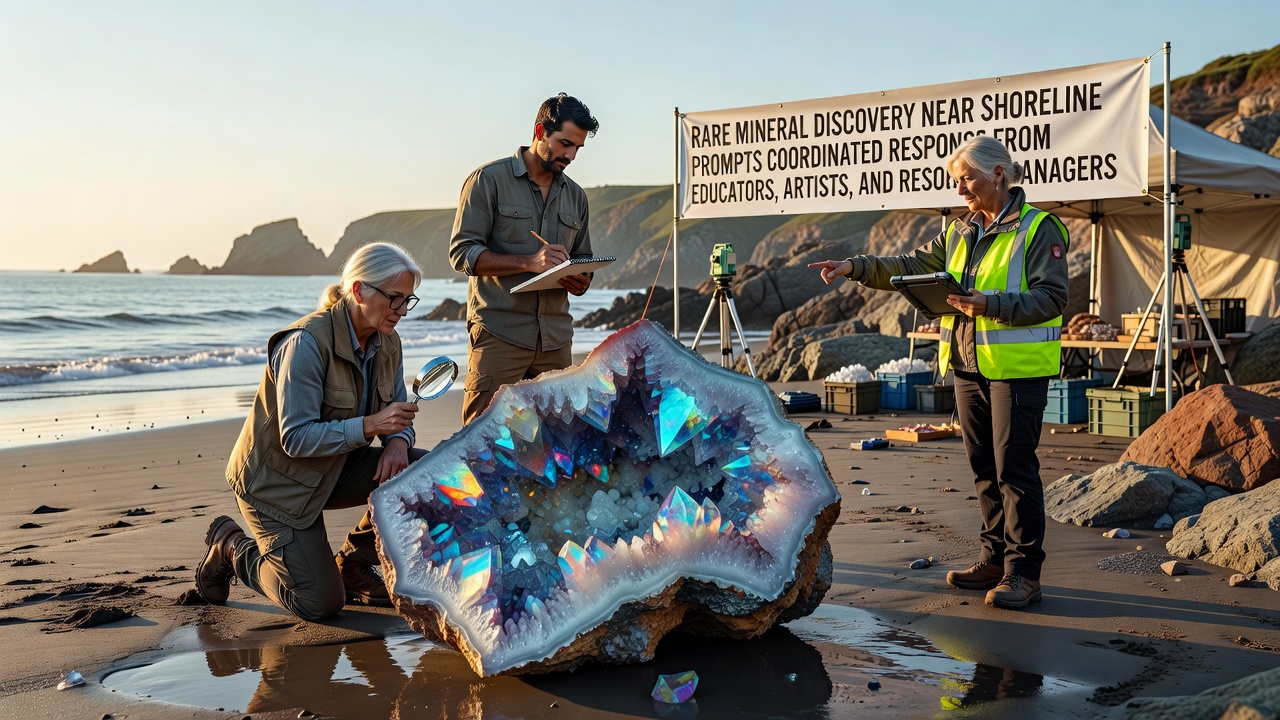
Teams working along a remote stretch of coastline identified an unusual mineral deposit in late 2025, and this finding quickly drew attention from multiple groups including school districts, local art collectives, and government resource offices. The mineral, which contains trace elements not commonly found in surface samples from that region, prompted initial assessments by field geologists who documented its composition through standard laboratory tests, and those results circulated among stakeholders by early the following year.
Initial Assessment and Data Collection
Survey crews operating under permits from regional environmental agencies collected core samples during routine shoreline monitoring, and analysis revealed concentrations of a rare earth compound that researchers at several universities had flagged as significant for material science applications. Data from the US Geological Survey confirmed similar formations exist in limited locations worldwide, yet the proximity to developed coastal zones added layers of planning requirements that standard extraction reviews do not typically address.
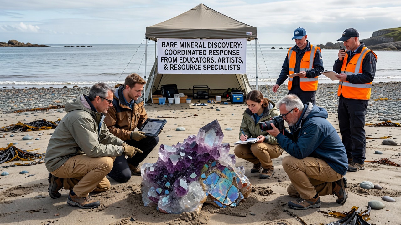
Resource managers compiled reports that outlined potential habitat overlaps, and these documents reached education coordinators who saw opportunities to integrate the findings into existing earth science curricula. Artists who maintain studios in nearby communities began visiting the site under guided access, and they collected visual references for installations that interpret geological processes through mixed media.
Educator Involvement and Curriculum Development
School administrators coordinated with state science advisors to create modules around mineral identification techniques, adn teachers incorporated field trip protocols that align with safety guidelines established by the managing agencies. Students in participating districts examined replica samples in classrooms while learning about the testing methods used in the original discovery, and lesson plans emphasized data interpretation rather than extraction details.
By mid-2026, several districts reported increased enrollment in elective courses that cover resource mapping, and partnerships with local colleges allowed advanced students to review anonymized datasets from the site. Observers note that these programs expanded existing environmental education tracks without requiring new budget allocations beyond standard professional development hours.
Artistic Interpretations and Public Engagement
Local galleries hosted preliminary exhibits featuring sketches and sculptures derived from site photographs, and these works highlighted color variations in the mineral layers rather than commercial potential. Artists collaborated with resource managers to ensure installations avoided sensitive zones, and they scheduled public viewings that coincided with community science nights organized by the same educators running the school programs.
One collective produced a series of prints that mapped the discovery location against historical shoreline changes, and these pieces appeared in regional libraries by August 2026. Attendance records from the exhibits showed steady visitor numbers from both school groups and independent residents, and feedback forms indicated interest in follow-up sessions that combined artistic techniques with basic geological terminology.
Resource Management Framework and September 2026 Updates
Agency staff established monitoring stations to track any shifts in surrounding water quality parameters, and quarterly reports released in September 2026 summarized baseline measurements taken before and after initial sampling activities. These updates included comparisons with data from comparable sites managed by Canadian provincial authorities and Australian state departments, and the cross-referenced figures helped refine local protocols for future notifications.
Coordinated meetings held that month brought together representatives from all three sectors to review access schedules, and participants adjusted timelines to avoid overlap with migratory bird nesting periods documented in agency records. The process relied on existing interagency agreements rather than new legislation, and minutes from the sessions noted that communication channels developed during earlier coastal projects proved effective for this case.
Broader Regional Context
Similar mineral occurrences have appeared in geological surveys conducted across multiple continents, according to reports compiled by the International Union of Geological Sciences, and the shoreline setting here introduced variables related to tidal influence that inland sites do not present. Resource managers referenced those international examples when drafting public information sheets, and educators adapted simplified versions for classroom use.
Artists incorporated comparative maps from those global locations into their work, and the resulting pieces traveled to venues outside the immediate region through established exhibition networks. Data shared during the September 2026 briefings showed that visitor inquiries about the discovery remained consistent with patterns observed at other publicized geological sites, and no unusual spikes in unauthorized access attempts appeared in incident logs.
Conclusion
The coordinated response continues to evolve through scheduled reviews that incorporate input from each participating group, and documentation of the process remains available through the involved agencies. Ongoing measurements taken at the site provide reference points for any future studies, while curriculum materials and artistic projects developed in parallel supply tangible outputs that extend beyond the original finding.